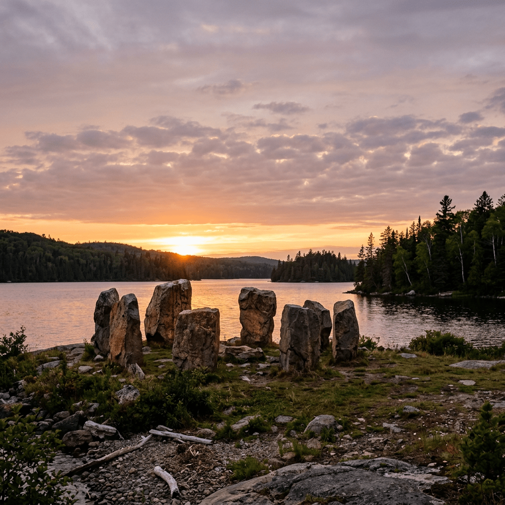
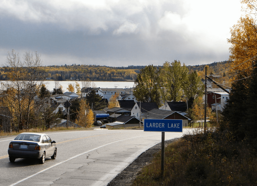
The Larder Lake Stonehenge (historically referred to as the Pearl Beach Mystery Rocks) is a fascinating megalithic arrangement of 18 massive, rounded boulders situated on the northeastern shore of Larder Lake a rural community located in Timiskaming District near the Big Narrows in Northeastern Ontario, Canada.
Geologists generally classify the stones as glacial erratic’s – rocks transported and deposited by receding glaciers during the last Ice Age. However, the site stands out due to several highly unusual physical characteristics. The massive rocks sit on a completely flat, barren stretch of bedrock marked with deep glacial striations (scratches). Unlike the surrounding dense Boreal forest, this specific patch of land is completely devoid of broken rock or topsoil. An Ontario Ministry of Northern Development and Mines report previously noted that the edges of the clearing looked unnatural, as if the overburden and smaller boulders had been manually pushed away. The 18 boulders are geologically dissimilar from one another, meaning they originated from different rock formations before being brought to this single, specific clearing.
What transforms this geological anomaly into a historic mystery is its precise astronomical geometry. The central core of four specific boulders aligns precisely with the rising and setting path of the sun during the summer and winter solstices. These same four central stones create a perfect north-to-south directional line pointing directly toward Polaris (the North Star). When mapped out collectively, the layout of all 18 stones mirrors the configuration of the constellation Draco.
The site has deeply rooted significance within regional Indigenous history. Archaeologist Dr. John Pollock discovered a massive, adjacent home encampment at Pearl Beach, indicating that early Indigenous groups utilized this specific area continuously from 6,000 B.C. through to the historical present. In 1992, an ethnological investigation led by archaeologist Thor Conway brought a respected Native elder and shaman, Fred Pine, to the site. He confirmed that the location was historically viewed as a “power spot,” where stone alignments (sometimes called dolstones) were utilized as spiritual markers or shrines. The site also aligns visually with nearby Mount Cheminis, a sacred volcanic plug used by shamans for fasting, meditation, and religious ceremonies.
If you’d like to visit for yourself, here are some driving / hiking directions:
The site is entirely unmarked but accessible via a short hike east of Kirkland Lake
- Drive east along Highway 66 through the town of Larder Lake.
- From the intersection of Highway 66 and Highway 624 (marked by the town’s fish monument), continue driving east for exactly six kilometers.
- Look for an unmarked dirt road on your right (south side), situated just before you reach the Bob Lake/Tournene roadside picnic area.
- Follow this dirt road for 1.5 kilometers until the road forks.
- Veer left (South-Southeast) at the fork.
- Within 200 meters, park your vehicle in the pine trees and hike roughly 200 meters Southeast to reach the exposed bedrock on the shoreline.
Sources: North Ontario Travel, YouTube, CBC, Sudbury News, Timmins Today

Leave a comment